Of all 5 boroughs, Staten Island is probably the sleepiest (Staten Islanders like their peace and quiet).
It is also the least bike friendly.
Cyclists have made some healthy progress; the opening of the Clove Road bike lane last year was a major victory. But generally, Staten Islanders are known to be very anti-bike. The roads tend to be narrow, and drivers are resentful of sharing. I know people who’ve had bottles thrown at them in Staten Island - just because they were on a bike.
But Staten Island is headed for some big changes.
As most New Yorkers know, ground has been broken on Staten Island for a ferris wheel which is slated to be 200 ft taller than the London Eye (below):
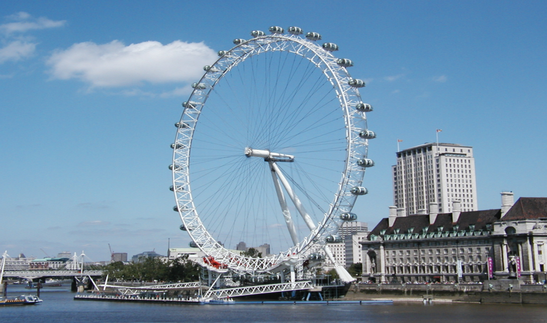
It’s set to open in 2017 and like it or not, Staten Islanders will have to deal. The New York Wheel (as well as an adjacent hotel and retail complex), will be just north of the St. George Ferry Terminal. The views will be spectacular.
This is gonna be big. And it opens up huge potential for cyclists too. How?
Picture this: a 7-mile greenway starting from the Wheel, that hugs the coast of Staten Island, and winds around to the north before turning inland through Port Richmond, ending just 4 miles from the Staten Island Green Belt and Park.
It would not only provide great riding opportunities for tourists - it’s a natural to want to continue exploration of the island once you’re here - and a Citibike station is already at the terminal. But beyond that, such a route would give something back to Staten Islanders: an easy and scenic commute to the Ferry. It would get bikes off Richmond Terrace Road - the Island’s narrow main drag - and by bringing economic interest to currently depressed areas, virtually pay for itself. So who’s going to spring for such bold infrastructure?
Guess what? It’s already there.
It’s the abandoned B&O Railroad tracks whose road beds, like the High Line, await just such a transformation. The right of way is owned by the MTA (that's us). Staten Island has said they can’t afford light rail here. And they already have a bus on Richmond Terrace Road. A greenway is a no-brainer (or so it seems to us as cyclists).
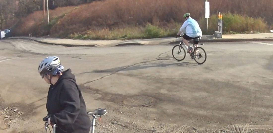
But you have to have vision. That’s what 5BBC leader Ed DeFreitas has. He’s leading a tour to show the potential of such a greenway on these tracks. As soon as I hear about this tour, I sign up to go.
We start from the 2nd floor of the St. George Terminal, and make our way down to ground level.
This is gonna be big. And it opens up huge potential for cyclists too. How?
Picture this: a 7-mile greenway starting from the Wheel, that hugs the coast of Staten Island, and winds around to the north before turning inland through Port Richmond, ending just 4 miles from the Staten Island Green Belt and Park.
It would not only provide great riding opportunities for tourists - it’s a natural to want to continue exploration of the island once you’re here - and a Citibike station is already at the terminal. But beyond that, such a route would give something back to Staten Islanders: an easy and scenic commute to the Ferry. It would get bikes off Richmond Terrace Road - the Island’s narrow main drag - and by bringing economic interest to currently depressed areas, virtually pay for itself. So who’s going to spring for such bold infrastructure?
Guess what? It’s already there.
It’s the abandoned B&O Railroad tracks whose road beds, like the High Line, await just such a transformation. The right of way is owned by the MTA (that's us). Staten Island has said they can’t afford light rail here. And they already have a bus on Richmond Terrace Road. A greenway is a no-brainer (or so it seems to us as cyclists).
But you have to have vision. That’s what 5BBC leader Ed DeFreitas has. He’s leading a tour to show the potential of such a greenway on these tracks. As soon as I hear about this tour, I sign up to go.
We start from the 2nd floor of the St. George Terminal, and make our way down to ground level.
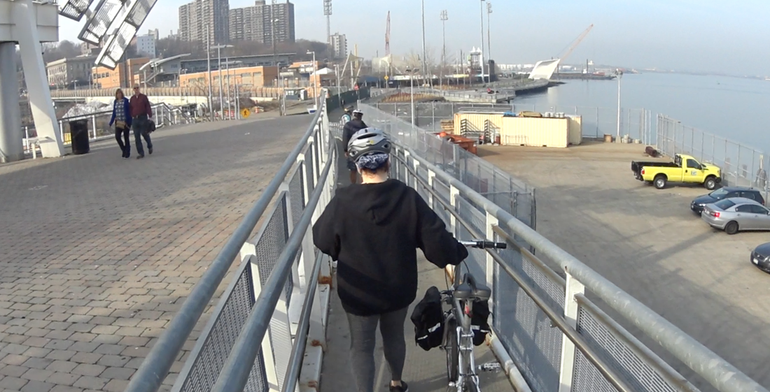
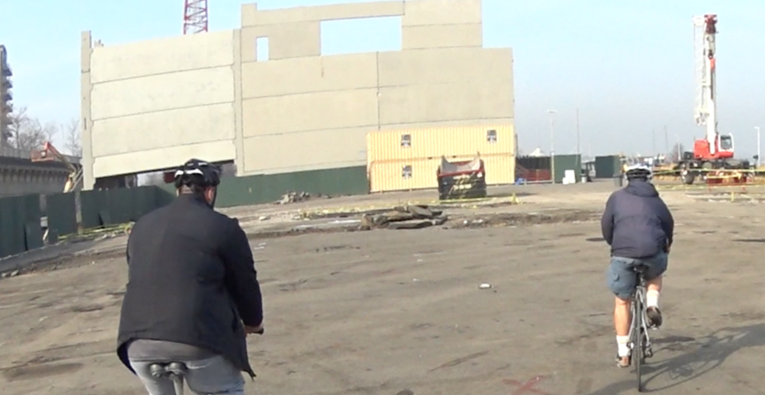
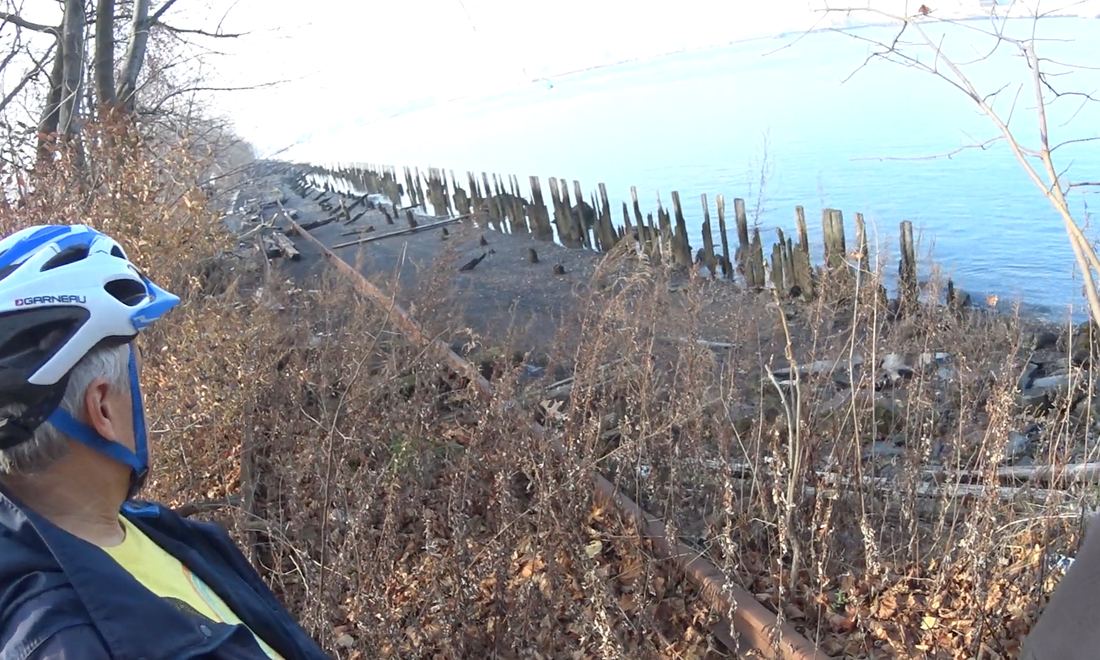
Along the waterfront...
Passing early construction for the base of the prospective ferris wheel.
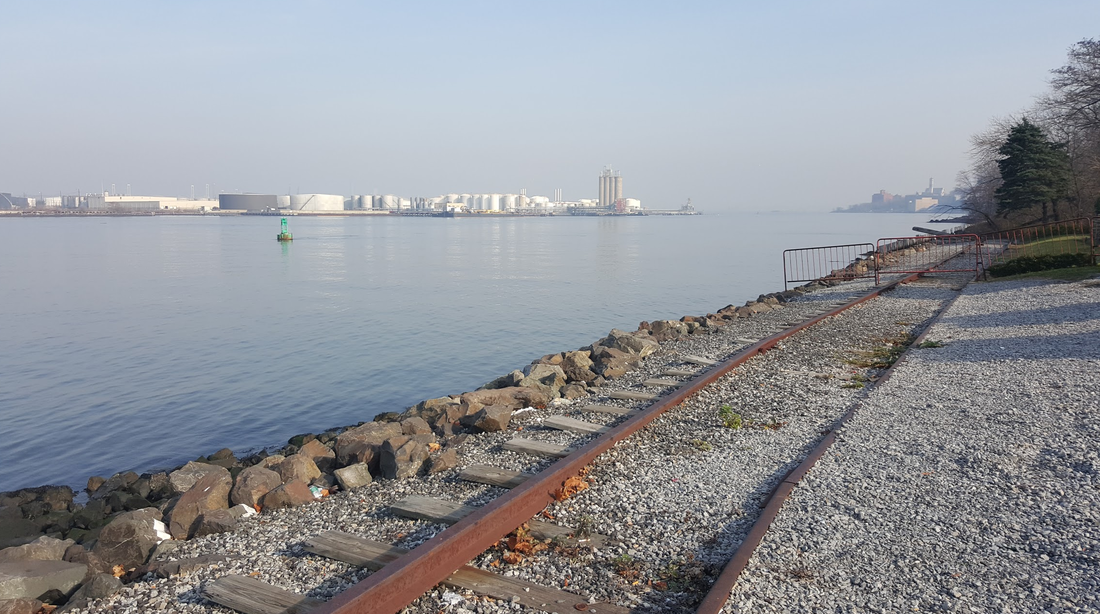
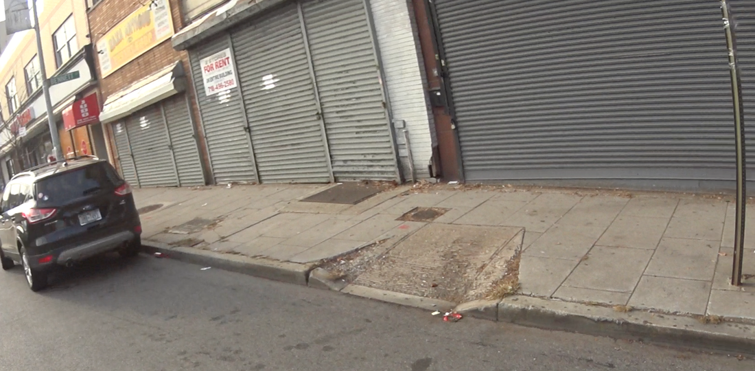
This is where the road bed starts. Not scenic, but wait.
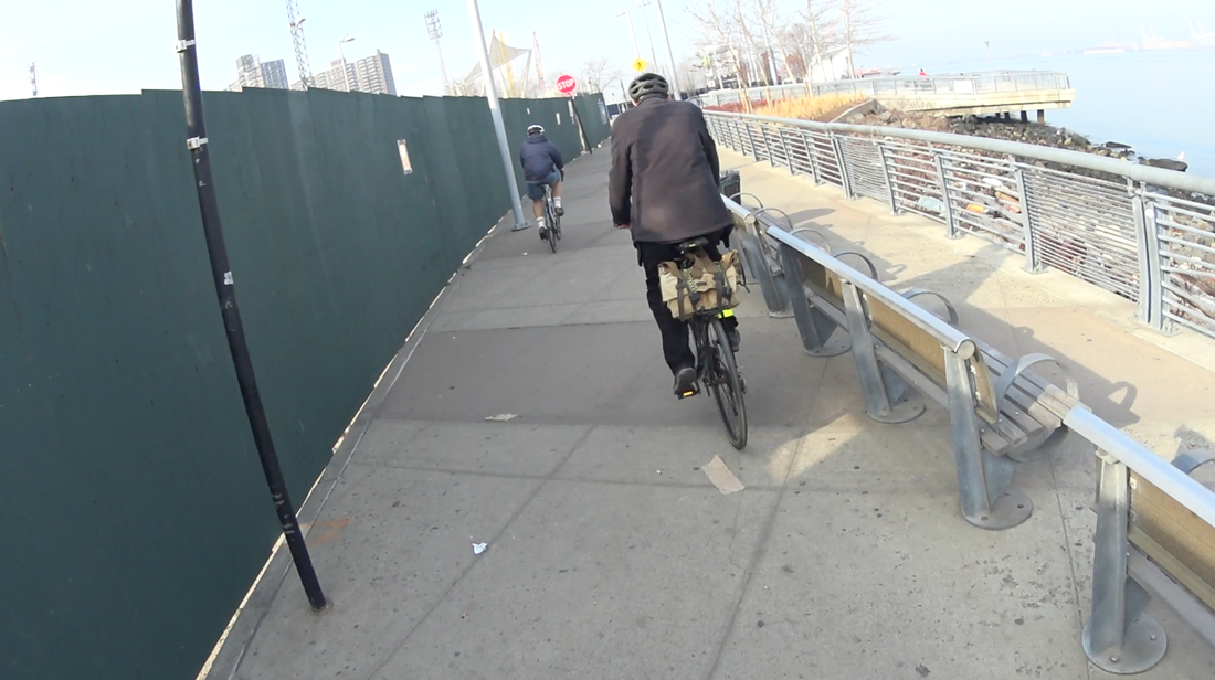
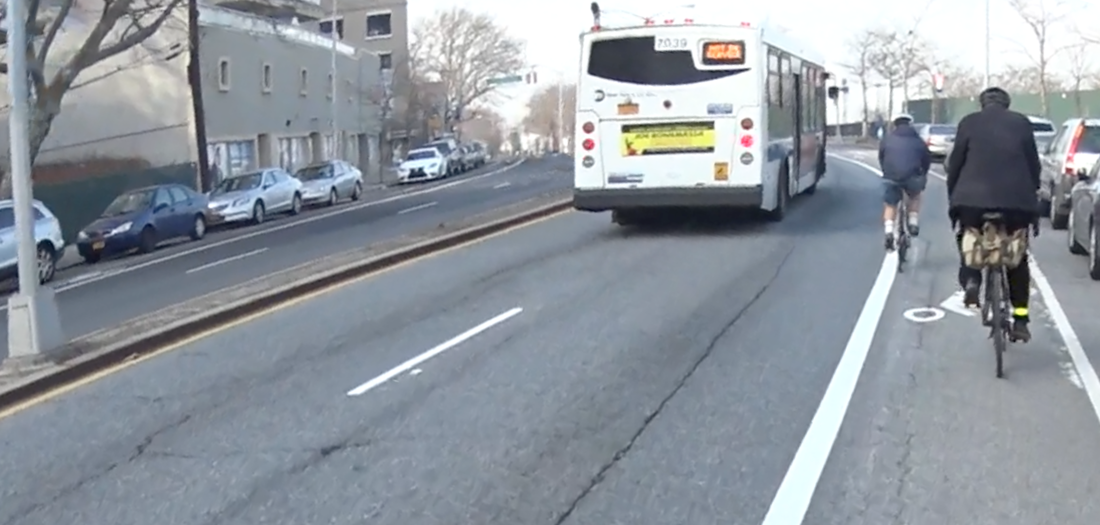
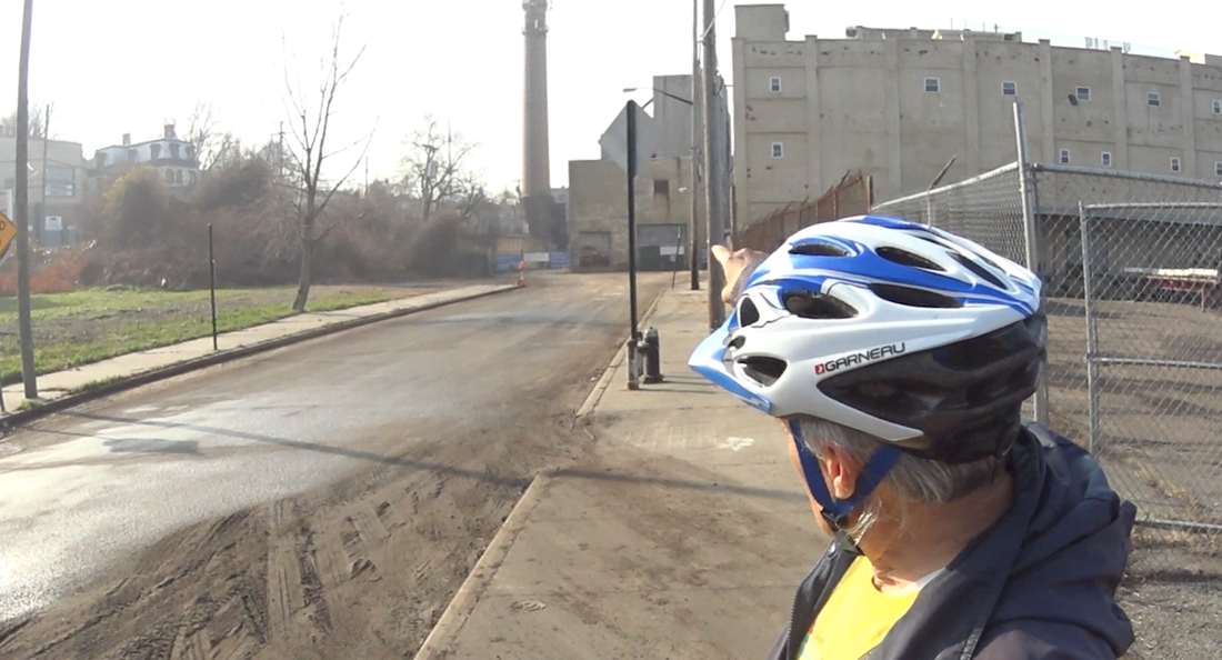
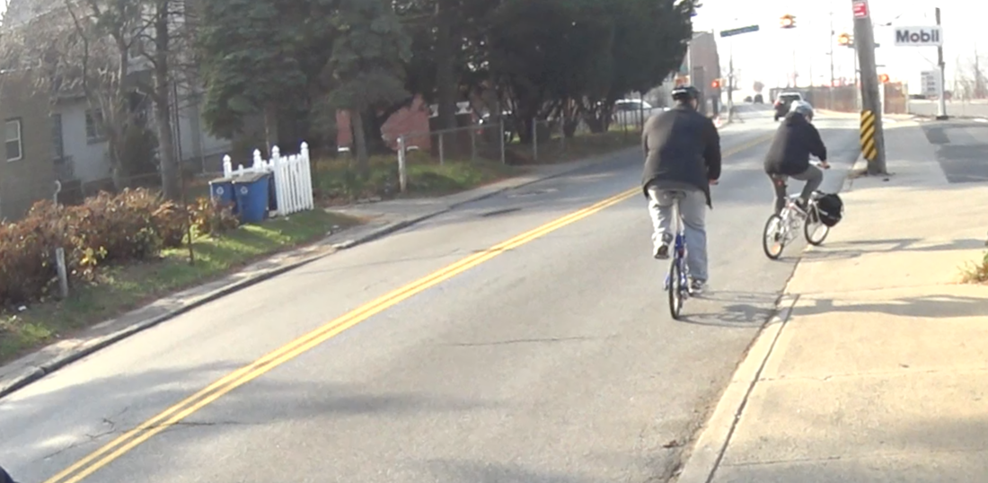
Back to Richmond Terrace Road…
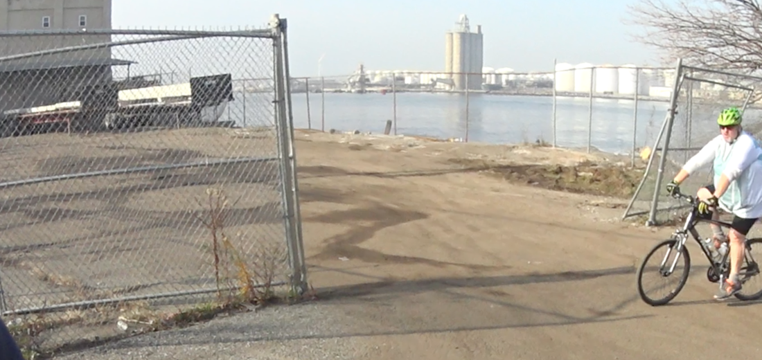
We pull over to see the Kill van Kull and Bayonne. Now that's a view.
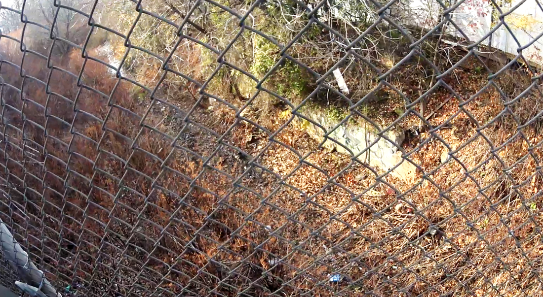
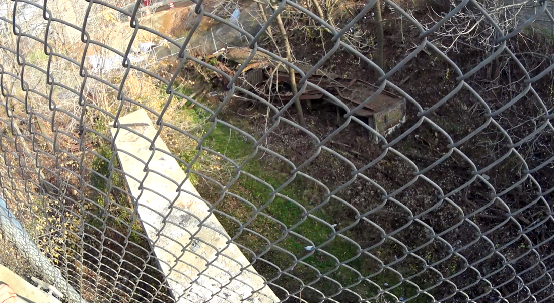
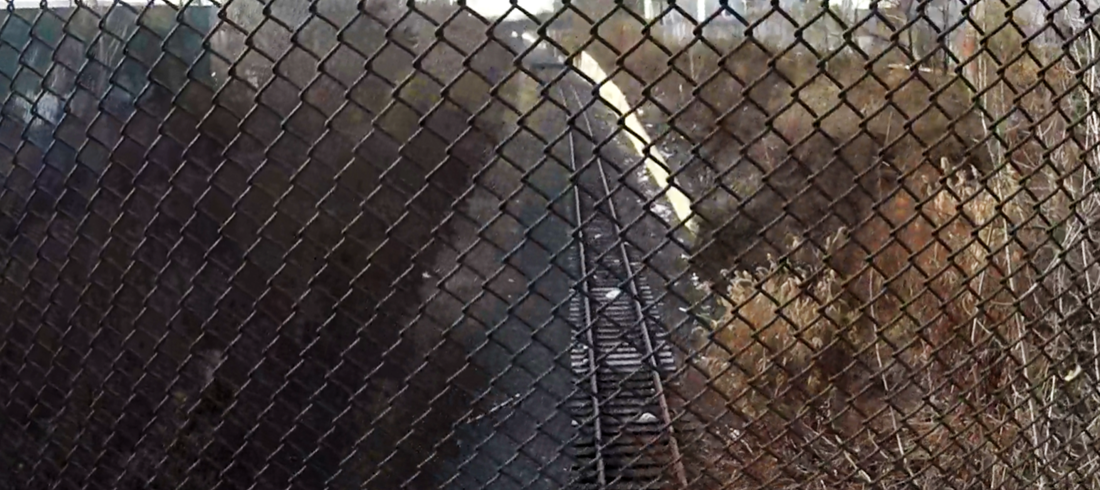
And right across from it? The tracks have kept pace under this brush. All the way from here…
To here. Wow.
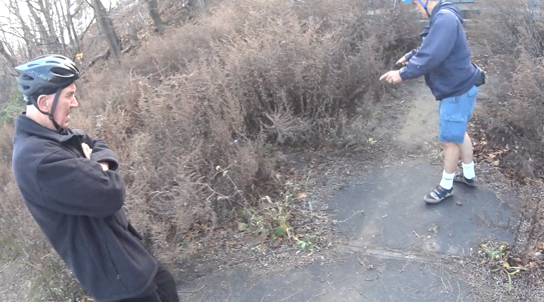
How did Ed ever discover this? We marvel. Two of our number, native Staten Islanders who claim to know every inch of the island, have never seen these tracks before, or put this concept together.
We ride on to Snug Harbor where the tracks continue.
We ride on to Snug Harbor where the tracks continue.
The City has made a heavy investment turning Snug Harbor into a lovely Cultural Center.
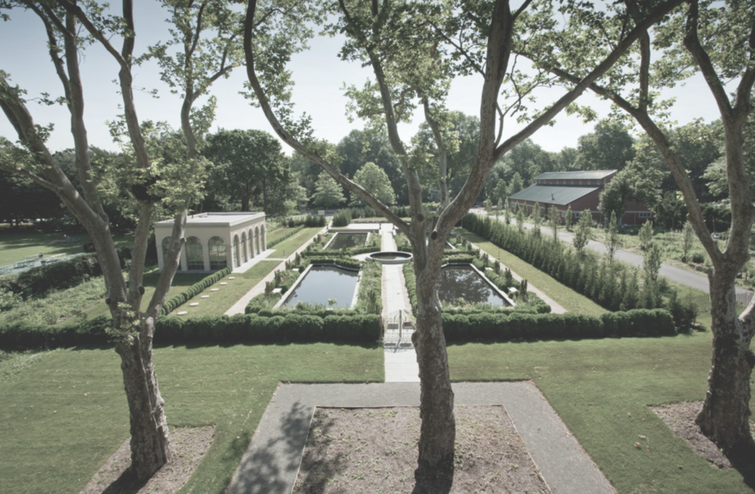
What a great way for tourists to get directly to Snug Harbor - traffic-free!
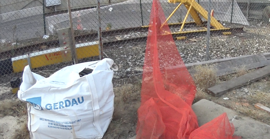
OK, don't panic. There are moments like this, but they are surprisingly few. And maintaining the sea wall is up to the City in any case. That’s true of all 5 boroughs, not just Staten Island. Once the City gets to work here, the right of way leads forward.
Check it out. Behind this Mobile Station...
Check it out. Behind this Mobile Station...
The tracks continue north.
Largely unseen, parallel to Richmond Terrace Road.
They make a slow ascent, culminating in an abandoned “Hi-Line,” which we can see at the turn to Clove Road. No one says it, but we all know the potential of a Hi Line like this.
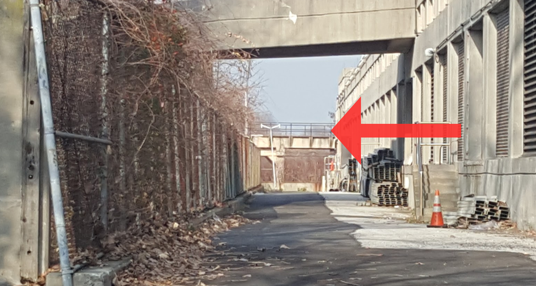
As we continue, the track turns inward crossing over Richmond Terrace Road.
It's a jewel. This infrastructure, rehabbed in 1935 by the WPA, is in remarkably good shape. “This doesn’t need any work,” says Ed. “This just needs to be cleaned.”
And don't forget: these tracks were built for freight.
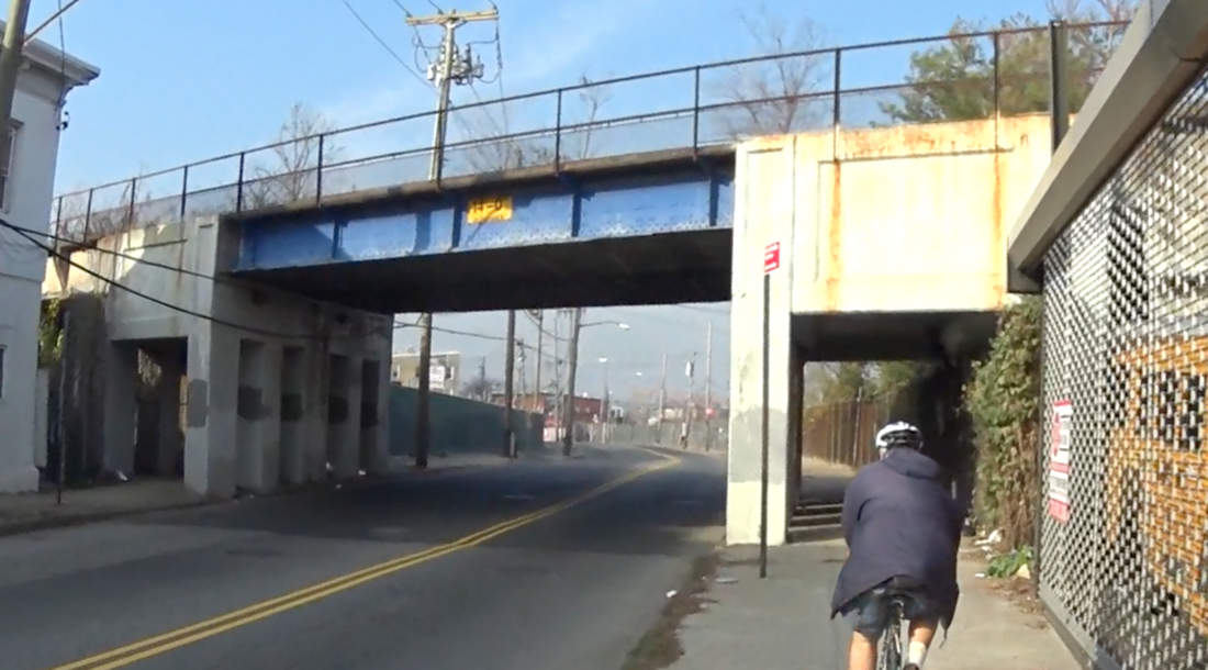
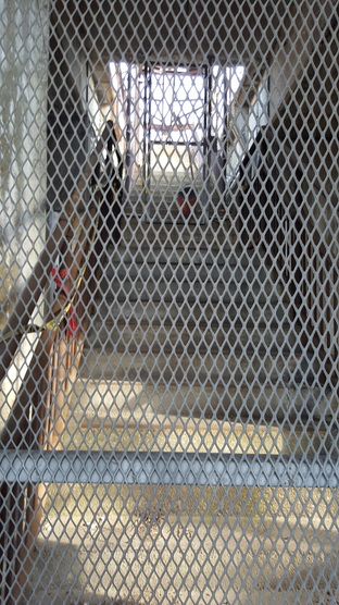
At Port Richmond Avenue we meet the Hi-Line again. This time with an intact station...
And don't forget: these tracks were built for freight.
At Port Richmond Avenue we meet the Hi-Line again. This time with an intact station...
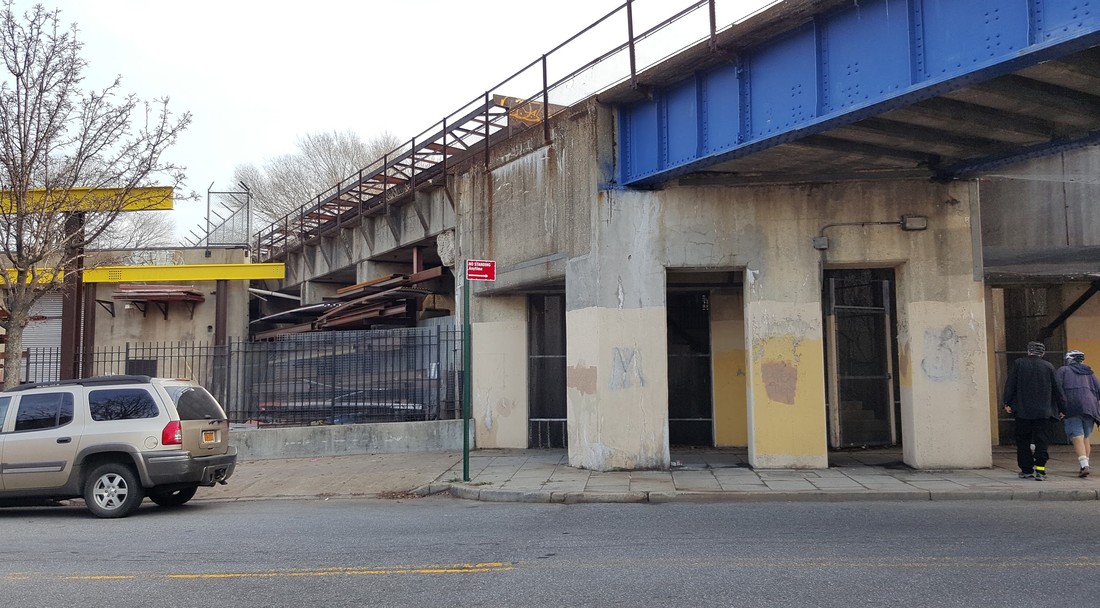
And staircase.
This is Port Richmond itself.
The closed shops here tell the story: this area has seen better days. Staten Islanders call it a high crime area, especially in the Summer. We are convinced a greenway running nearby would change all of that.
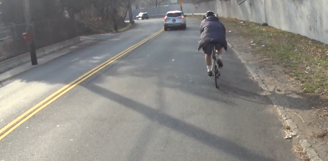
We wend our way around the neighborhood to where the Bayonne Bridge (currently under renovation, but to include a generous bike lane from what we hear) is off to our left.
We wend our way around the neighborhood to where the Bayonne Bridge (currently under renovation, but to include a generous bike lane from what we hear) is off to our left.
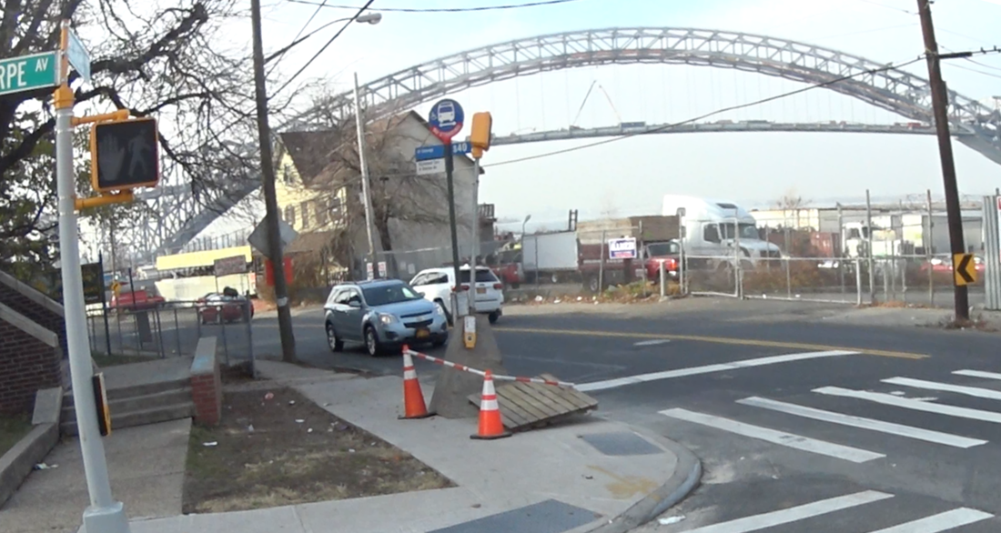
So this means you could essentially cycle from Manhattan (via the ferry) through SI to Jersey - and all on a protected greenway. Imagine that!
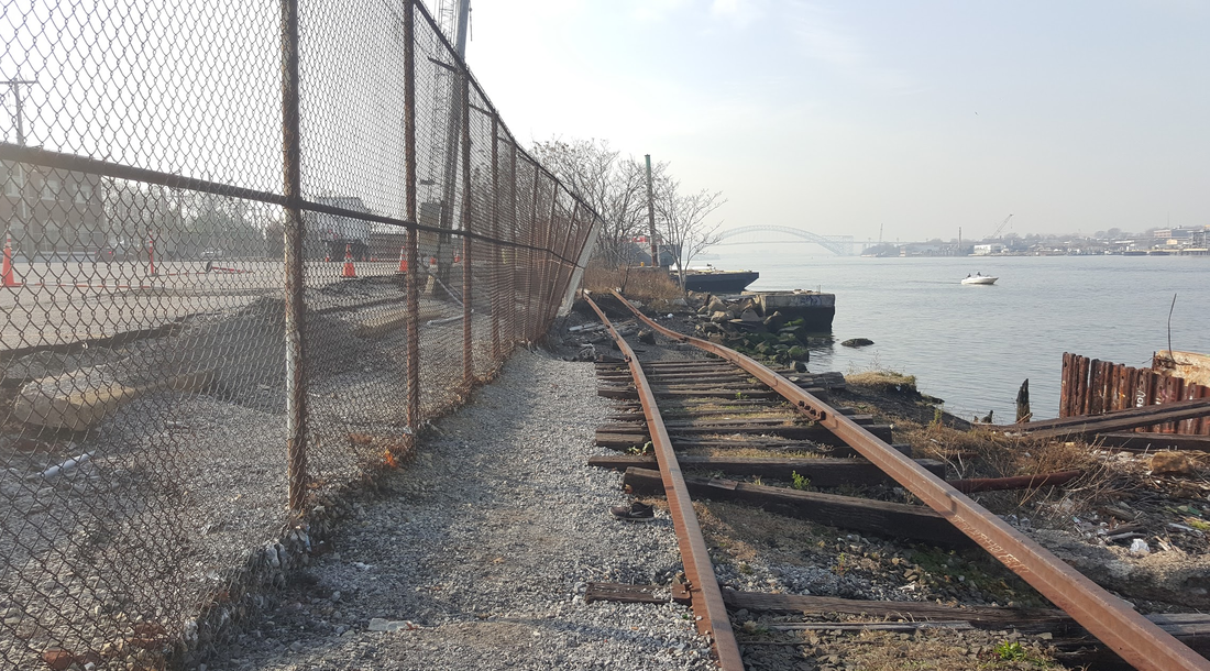
On either side of the Bridge, the track goes into a "Cut," which continues on the other side.
On either side of the Bridge, the track goes into a "Cut," which continues on the other side.
Showing the remains of a station platform.
We see this "Cut" continue as we ride over a couple of street bridges. I know it doesn't photograph well, but if I were on this greenway this would be my favorite part, protected and green. It wouldn't take much to clean it up, as you can see by the neatened CSX tracks where our hoped-for greenway ends.
In fact, the greenway doesn't have to end here at all. As our trip winds up, there is talk of the difficulties of getting to Fresh Kills Park without a car; of how much easier (and more pleasant) it would be to get there this way.
It's been done before.
According to Ed, there are plenty of examples from the Rails to Trails Society where people safely run, walk, bike, etc. on a protected path along side the tracks. And, since Fresh Kills is only 4 miles away...
We begin see this as not only an extension of the New York Wheel project - but as part of a larger component for the park system in Staten Island.
To us the development of the greenway is a no-brainer. How far the MTA is willing to take it beyond that, will doubtless depend on the continued activism of cyclists like us. But one thing seems clear to Ed.
“This wasted City asset's time has come,” he says.
It just takes vision.